
Chief Oil & Gas (soon to be Devon Energy) has scheduled the drilling of 2 gas wells in late August and early September.
The "drilling permits" (W1) can be viewed on the Texas Railroad Commission "Interactive Data" online site - RRC disctrict: 7B; County: Hood; Operator: Chief; Lease name: Ator.
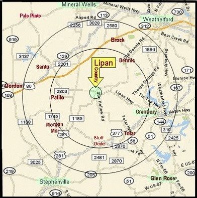
The lease is located 2+ miles east of Lipan on the west side of the Gas Plant Road. A Chief representative states that Union Drilling, Inc. is contracted for the wells.
Originally bought by Howell Petroleum of Houston, Chief subsequently acquired this lease. Most of Chief's Barnett Shale properties are now being transferred to Devon Energy.
Oil field activity around Lipan is more evident with the construction of the Enbridge pipeline connecting the Lipan compressor station with Weatherford. Seismic studies have been completed this spring around Lipan by Time Slice Technology, Inc. and Exploration Geophysics, Inc. which mapped the Barnett Shale geological properties for EOG, Chief and others.
A well east of Lipan on the Ward Lease was drilled in 2005 and reportedly encounted significant water problems. The new seismic studies may enable better results. The Barnett Shale in western Hood County is known as being in the "non-core", or thinner, portion of the formation. As a result, the risk associated with water encroachment is greater.

